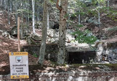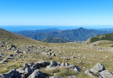

Passo della Spingarda – Passo del Bocco
SityTrail - itinéraires balisés pédestres
Tous les sentiers balisés d’Europe GUIDE+

Lengte
12,1 km

Max. hoogte
1627 m

Positief hoogteverschil
214 m

Km-Effort
16,9 km

Min. hoogte
958 m

Negatief hoogteverschil
805 m
Boucle
Neen
Markering
Datum van aanmaak :
2022-02-14 21:43:15.391
Laatste wijziging :
2022-02-28 13:54:30.713
3h50
Moeilijkheid : Gemakkelijk

Gratisgps-wandelapplicatie
Over ons
Tocht Te voet van 12,1 km beschikbaar op Ligurië, Genua, Santo Stefano d'Aveto. Deze tocht wordt voorgesteld door SityTrail - itinéraires balisés pédestres.
Beschrijving
Trail created by Alta Via dei Monti Liguri.
Sentiero Italia CAI 2019
Symbol: AV on white red flag
Plaatsbepaling
Land:
Italy
Regio :
Ligurië
Departement/Provincie :
Genua
Gemeente :
Santo Stefano d'Aveto
Locatie:
Unknown
Vertrek:(Dec)
Vertrek:(UTM)
536209 ; 4924876 (32T) N.
Opmerkingen
Wandeltochten in de omgeving

Squeri - Monte Carignone - Passo Dell'Incisa


Te voet
Gemakkelijk
Tornolo,
Emilia-Romagna,
Parma,
Italy

9,6 km | 17,8 km-effort
4h 3min
Neen

Santa Maria del Taro - Campeggi - Alta Via dei Monti Liguri


Te voet
Gemakkelijk
Tornolo,
Emilia-Romagna,
Parma,
Italy

5,9 km | 11,1 km-effort
2h 31min
Neen

Villanoce - Passo del Cereghetto - Quadrivio ponte Re di Coppe


Te voet
Gemakkelijk
Rezzoaglio,
Ligurië,
Genua,
Italy

5,8 km | 12 km-effort
2h 43min
Neen

Magnasco - Monte Aiona


Te voet
Gemakkelijk
Rezzoaglio,
Ligurië,
Genua,
Italy

6,3 km | 15 km-effort
3h 24min
Neen

Gramizza - Passo della Spingarda - Monte Aiona


Te voet
Gemakkelijk
Santo Stefano d'Aveto,
Ligurië,
Genua,
Italy

7,5 km | 16,8 km-effort
3h 48min
Neen

Prato Sopralacroce - Passo dell'Incisa - Monte Penna


Te voet
Gemakkelijk
Borzonasca,
Ligurië,
Genua,
Italy

6,3 km | 15,4 km-effort
3h 29min
Neen

Gramizza - Amborzasco - Monte Penna


Te voet
Gemakkelijk
Santo Stefano d'Aveto,
Ligurië,
Genua,
Italy

7,5 km | 17,6 km-effort
4h 0min
Neen


 SityTrail


